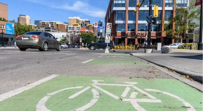
Bike Calgary Campaign Launch – #Sharedstreets
Removal of social distancing could be the end of lane closures? While 2020 will go down in history as the year of the pandemic, it should also be remembered as the year Calgarians became acutely aware of the importance of our local surroundings and our public spaces. Cycling has exploded as a recreational activity and been reinvented, with the City closing roads and lanes to allow people to benefit from socially distanced outdoor activities. Calgary now has the chance to move forwards, not backwards, and to realize that no matter the time of year, We can bank some of the benefits provided to date and enable Calgarian’s to enjoy our pathways safely and to continue the boom in local outdoor activities, which brings huge gains in overall well-being and allowing…